Land Sensing Geospatial Analytics
Data and Portal
Explore our maps online, and download open geospatial data for your own analysis.
Earth Engine Portal
Explore our maps in the LSGA portal
Our portal runs on Google Earth Engine, so you can explore our results in a web browser, with no software to install and no account needed.
What you can see. Our published map layers on an interactive map, on top of recent satellite imagery, with a choice of years and seasons.
What you can do. Zoom to your area, switch layers on and off, and compare them with the imagery.
Open geospatial data
Open datasets
These datasets come from our projects. Each one comes with its accuracy information and a suggested citation.
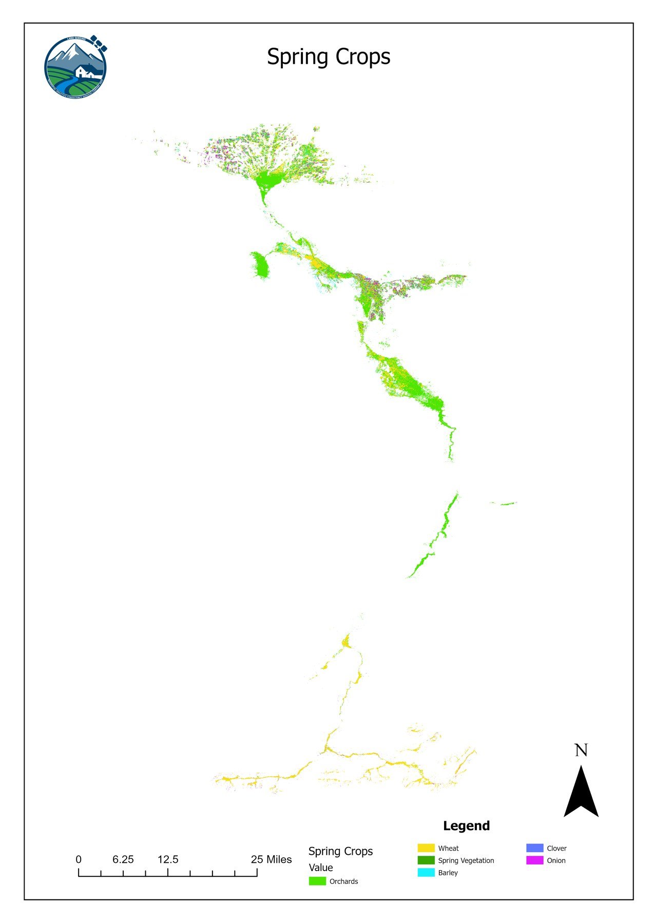
Seasonal crop maps 2023, Khulm Watershed
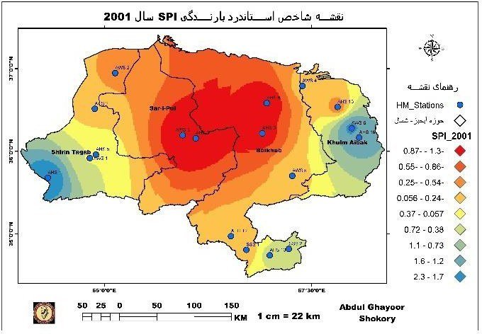
Drought indicators 2001–2020, Northern River Basin
Data policy & licence
How to use and cite our data
Licence
Our open data are shared under the Creative Commons Attribution 4.0 (CC BY 4.0) licence. You may use, share and adapt them, including for commercial work, as long as you credit LSGA.
Citation
Land Sensing Geospatial Analytics (LSGA) ([year]). [Dataset name]. [Version]. [DOI or link].Accuracy and limits
Every dataset comes with its accuracy assessment. The maps show land cover and conditions at the stated resolution. They are not survey-grade maps and do not show legal or administrative boundaries.
Need data for another area or a custom product?
We can produce maps and datasets for your area, season or question, with field verification.